Energy

Improve operational efficiency.
Strengthen regulatory compliance.
Prevent geohazard-related failures.
Laptop screen showing Cambio software with a satellite map, site boundary, and photo inspection details for Popkum Slope including inspection status, date, type, and photos.
Earth sciences play a critical role in reducing delays, tracking compliance, and monitoring performance.
From hydro dams to transmission corridors, Cambio™ helps energy operators monitor, inspect, and protect critical assets from landslides, floods, seismic events, and other geohazards. Built on two decades of linear infrastructure expertise, Cambio integrates instrumentation, lidar, and inspection programs to reduce outages, meet regulatory standards, and speed recovery after events.
COMMON CHALLENGES
Underutilized data scattered across disconnected systems for dams, slopes, and corridors.
Evolving dam safety and utility regulatory frameworks demanding greater transparency.
Limited visibility across thousands of miles of remote assets and access roads.
Increased exposure to climate volatility with more extreme weather events.
Cambio provides measurability for program effectiveness and operational efficiency
Are you identifying hazard-prone assets before they impact operations?
Are your dam and slope monitoring programs catching early signs of instability?
Can you demonstrate compliance with dam safety and utility regulations?
Do you have continuity if your key people or service providers change?

We take away the guesswork

plus sign symbol
Protect substations, hydro assets, and corridors from natural hazards
  • Corridor-wide hazard and asset inventories with lidar, InSAR, and inspection history
  • Real-time environmental data overlays for rainfall, snowpack, streamflow, and wildfire zones
  • Historical records to confirm whether issues are new or recurring
  • Automated hazard algorithms to estimate hazard activity and prioritize actions
plus sign symbol
Strengthen dam and slope safety with integrated instrumentation and remote sensing
  • Real-time streaming of geotechnical instrumentation with event-triggered alerts
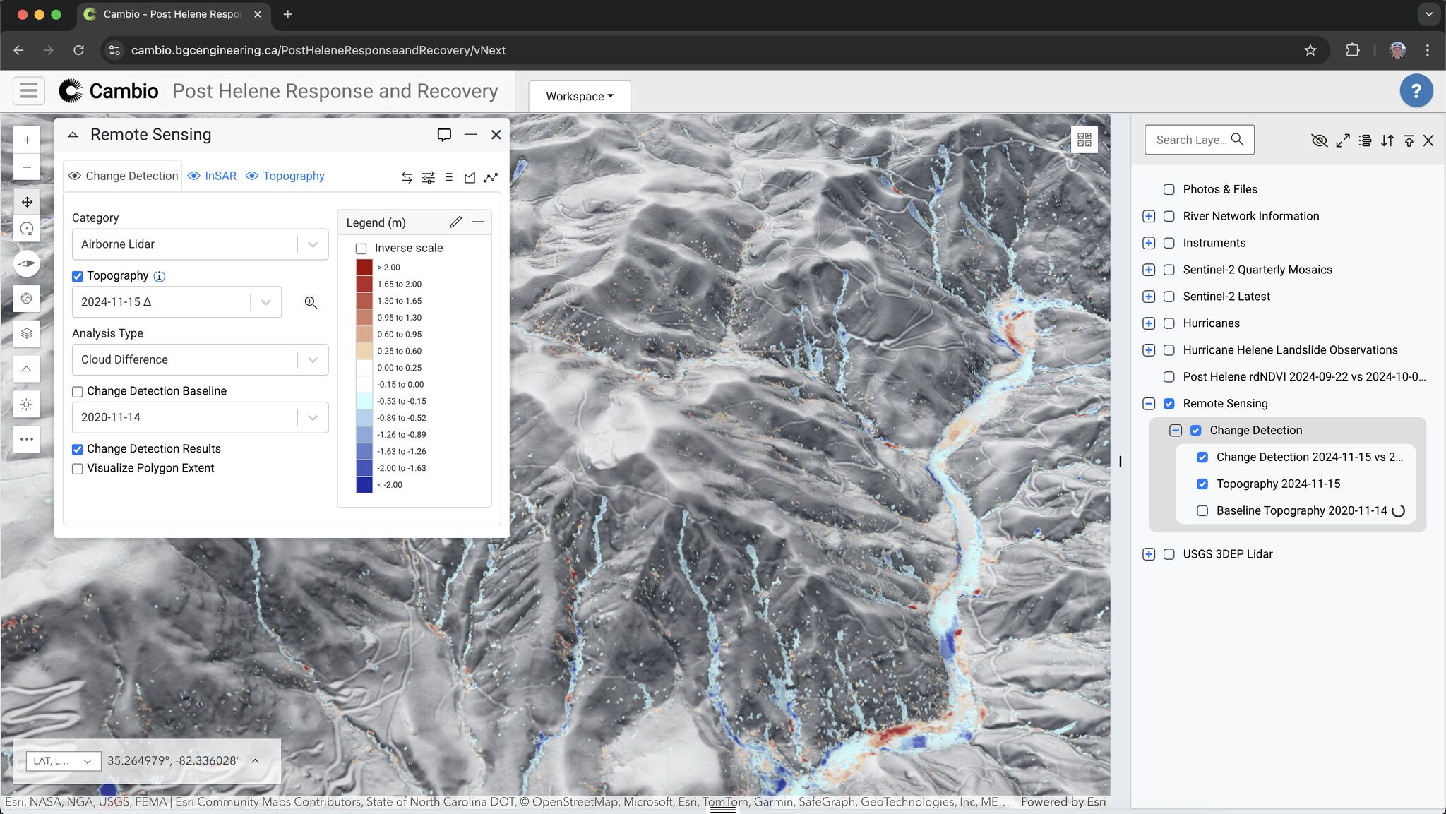
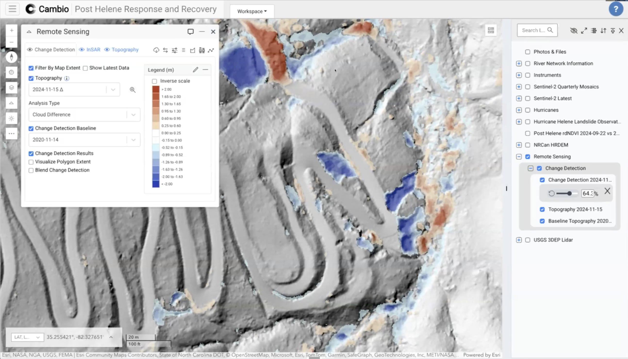
  • Change detection tools for embankments, spillways, and slopes
  • Site-specific thresholds tied to automated notifications and workflows
  • 3D terrain visualization to assess movement, seepage, and stability
plus sign symbol
Improve inspection consistency and accountability across all sites
  • Built-in inspection forms tailored to hazard type
  • Geo-referenced photos and field observations tied to map locations
  • Automated hazard activity updates based on inspection findings
  • Audit-ready inspection history for regulators and insurers
plus sign symbol
Respond faster to extreme weather and seismic events
  • Event-triggered workflows to reassess hazard conditions post-flood or earthquake
  • Pre- and post-event change detection to assess impacts
  • ShakeCast alerts tied to trigger action response plans for earthquakes
  • Rapid mobilization support with offline mobile data capture
our RESOURCES
Related Articles
ALL ARTICLES
Rapid Lidar Deployment for Post-Hurricane Disaster Response: A Case Study
This case study examines the potential implementation of Light Detection and Ranging (lidar) technology in rapid disaster response following Hurricane Helene in September 2024.
arrow rightarrow right
Lidar in Action: Disaster Recovery Reimagined
For emergency management professionals, engineers, and geoscientists seeking to enhance their disaster response methodologies.
arrow rightarrow right
Cambio Earth Wins 2025 CIO Award for AI Innovation in Geohazard Monitoring
We’re humbled to have been recognized for our groundbreaking work in applying artificial intelligence to geohazard monitoring and risk analysis.
arrow rightarrow right

Unlock every dataset and report to improve operational efficiency, strengthen regulatory compliance and prevent failures.