Communities

Visualize and communicate risk.
Prioritize mitigations.
Coordinate emergency response.
Laptop screen showing Cambio software with satellite map highlighting Nicola River Pine St Bank Erosion site and details panel with location information and comments.
Earth sciences play a critical role in reducing risk from natural hazards and climate impacts.
Equipping municipalities, regional districts, and First Nations with the tools to map hazards, collect field data, and visualize risk for planning, engagement, and emergency readiness. With clear, accessible maps and data, communities can better communicate risks, prioritize mitigations, and coordinate response.
COMMON CHALLENGES
Hazard maps, asset inventories, and monitoring data scattered across disconnected systems.
Limited capacity to collect and maintain local data for development regulation and planning.
Delays in decision making caused by misalignment and difficulty communicating technical content clearly.
Increased exposure to climate volatility with more frequent and extreme events.​
Cambio™ provides measurability for program effectiveness and operational efficiency
Are you focused on the highest-risk areas for mitigation and monitoring?
Are you communicating hazard risks clearly to residents and council?
Can you support development requests or funding requests with defensible, visual evidence?
Do you have the tools to coordinate effectively with other agencies?
What happens to the knowledge over time as your personnel turn over?

We take away the guesswork

plus sign symbol
Map hazards alongside community assets to guide planning and mitigation
  • Overlay hazard mapping with infrastructure and asset inventories
  • Identify high-consequence zones to prioritize mitigations and monitoring efforts
  • Summarize hazard–asset exposure for planners, emergency managers, and council briefings
  • Support public engagement with clear, visual maps
plus sign symbol
Monitor environmental conditions and respond quickly in an emergency
  • Rainfall, streamflow, snowpack, and extreme event visualizations
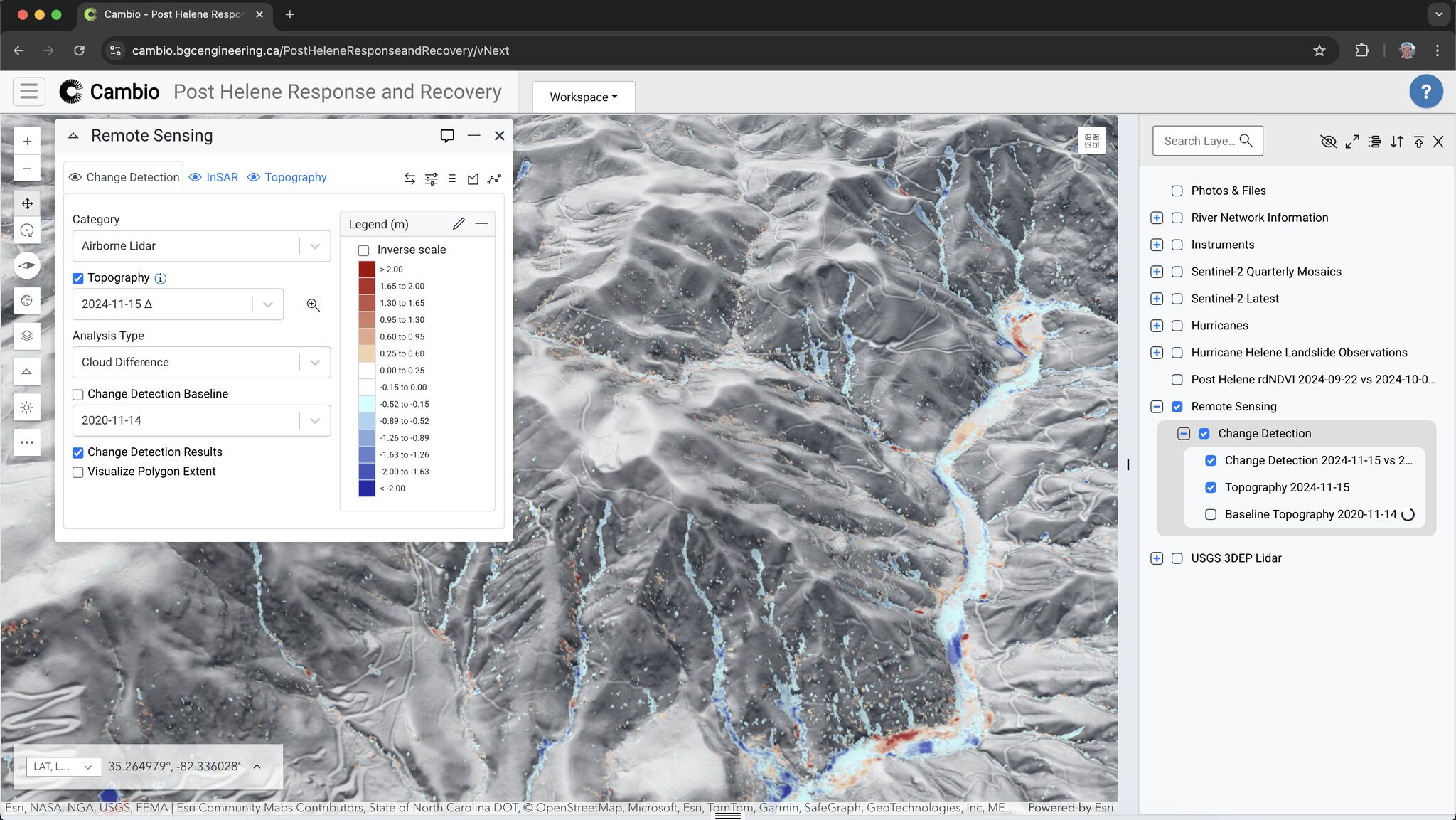
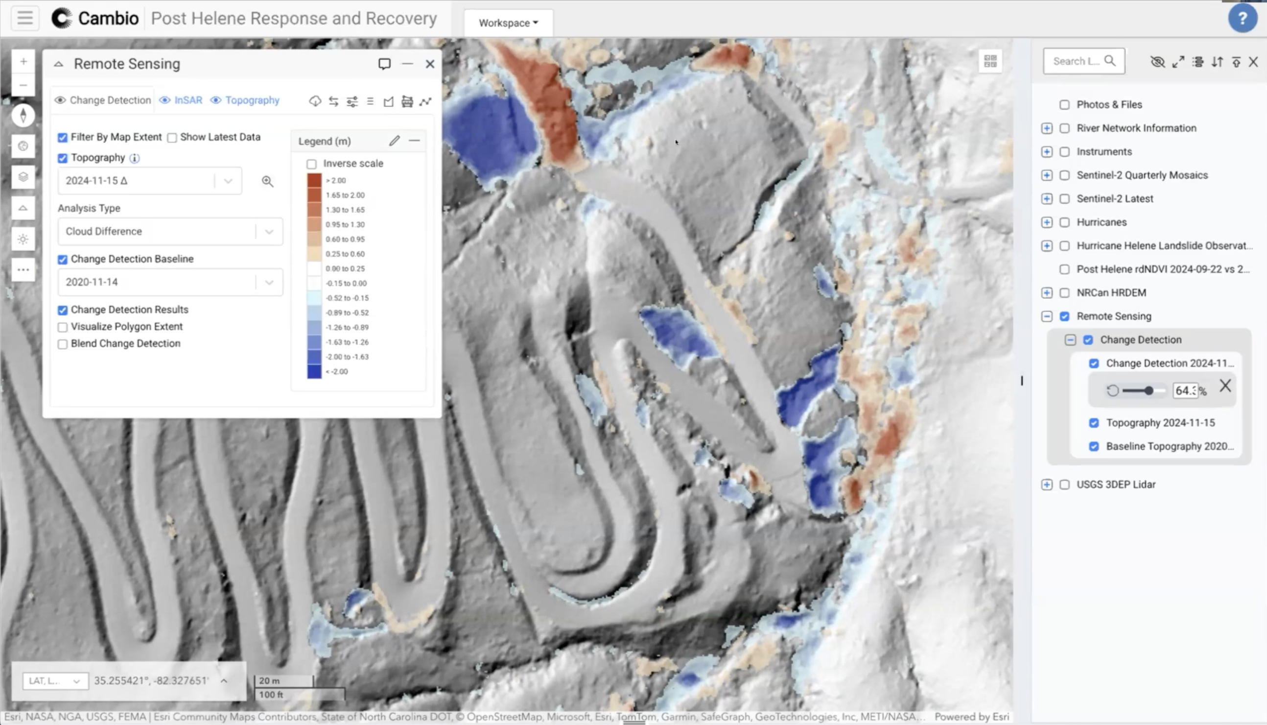
  • Lidar change detection to assess slope and drainage changes
  • Historical overlays to track changing flood and erosion risk
  • Pre- and post-event imagery to support recovery efforts and funding requests
plus sign symbol
Maintain continuity and coordination across agencies and leadership changes
  • Centralized record of photos, field notes, reports, and historical weather trends
  • Geo-referenced hazard and asset data
  • Audit-ready documentation to support funding and compliance
  • Shared workspaces for planning and emergency coordination
plus sign symbol
Empower local data collection and stewardship
  • Offline-ready mobile tools for georeferenced field observations
  • Customizable geospatial layers to reflect local priorities, hazards, and land uses
  • Integration of community-collected data into a single map-based platform
  • Training, capacity building, and knowledge transfer for long-term program success
our RESOURCES
Related Articles
ALL ARTICLES
Rapid Lidar Deployment for Post-Hurricane Disaster Response: A Case Study
This case study examines the potential implementation of Light Detection and Ranging (lidar) technology in rapid disaster response following Hurricane Helene in September 2024.
arrow rightarrow right
Lidar in Action: Disaster Recovery Reimagined
For emergency management professionals, engineers, and geoscientists seeking to enhance their disaster response methodologies.
arrow rightarrow right
Cambio Earth Wins 2025 CIO Award for AI Innovation in Geohazard Monitoring
We’re humbled to have been recognized for our groundbreaking work in applying artificial intelligence to geohazard monitoring and risk analysis.
arrow rightarrow right

Protect the people, property, and infrastructure in your community by identifying and managing the natural hazards and climate-related risks.