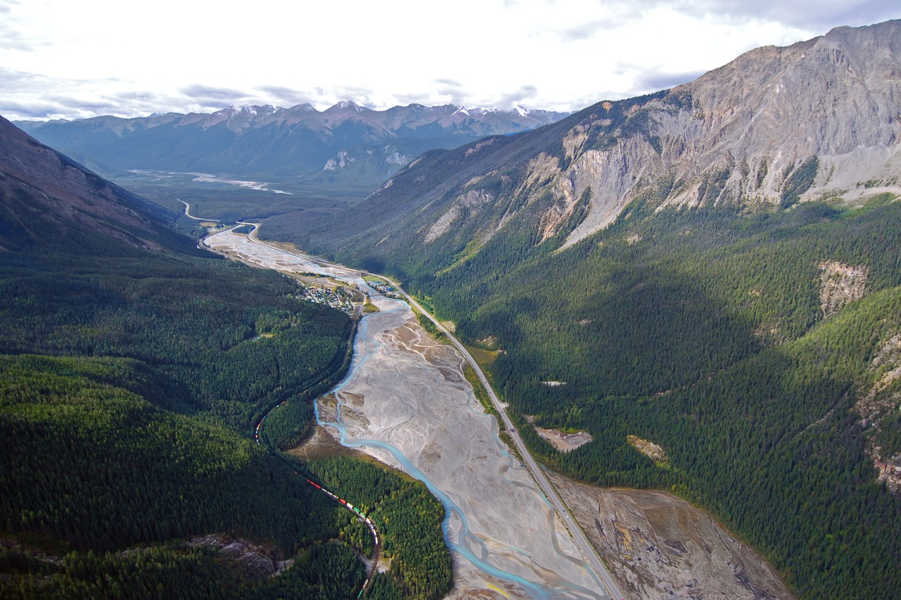
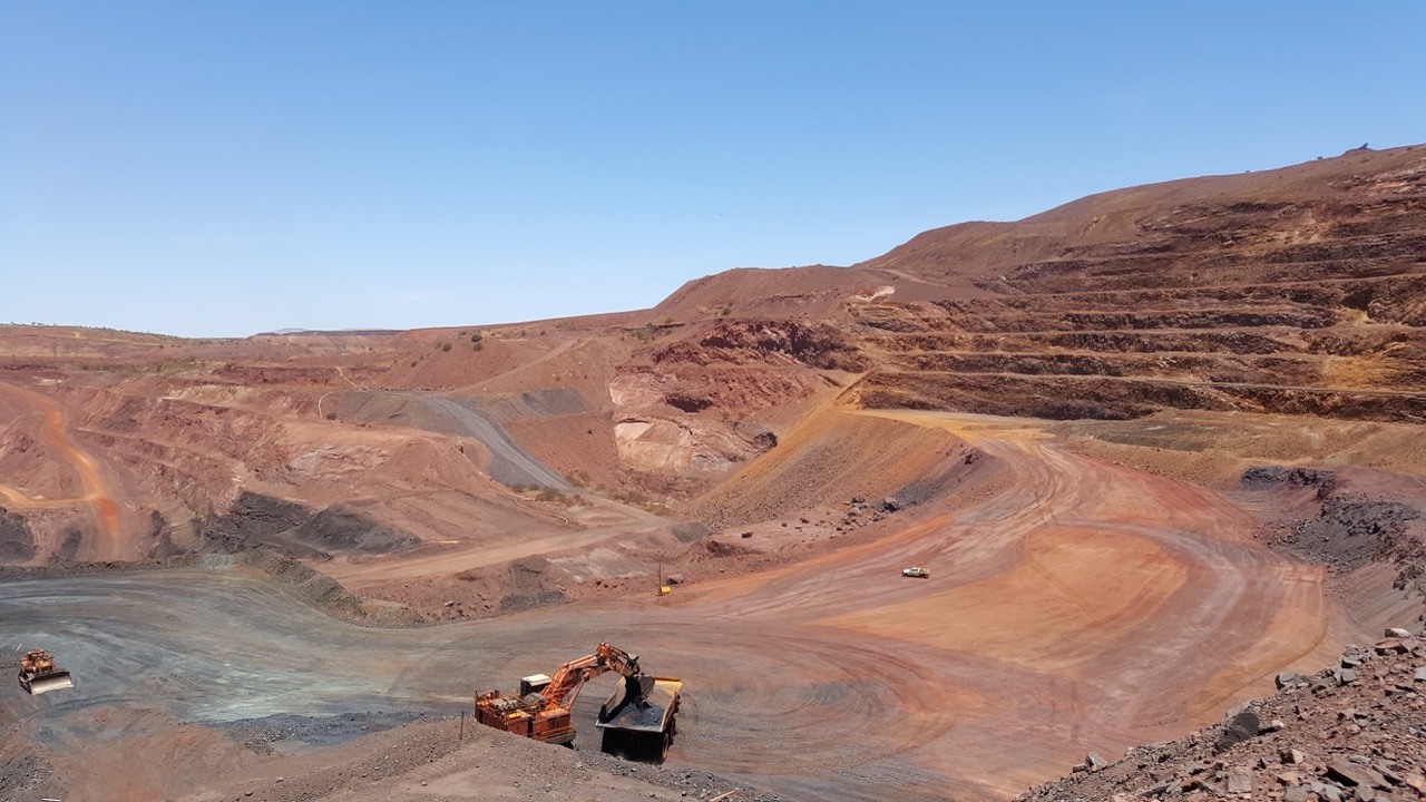
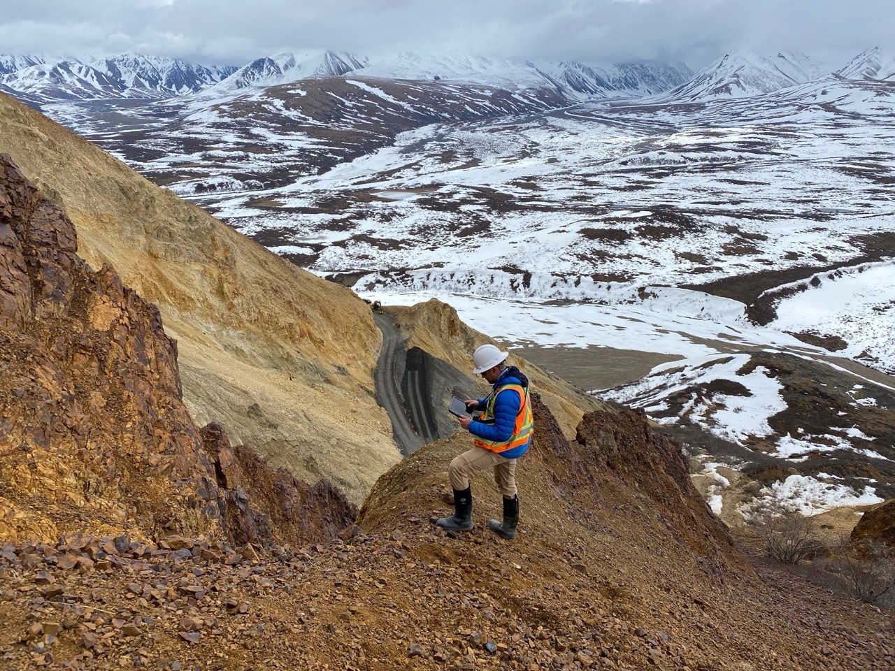
Detect, assess, and manage operational risks from natural hazards and respond quickly to extreme events.
Integrated Site Monitoring
Visualize and interpret surface, subsurface, and water conditions using earth observation, sensor, field, and weather data to detect shifts early and respond before small issues become big problems.
Continuously track, assess, and prioritize geohazard risks and asset integrity across sites, corridors, and regions to reduce incidents, accelerate response, and optimize resources with confidence.
Connect planning, design, monitoring, and response workflows to keep projects on track and build safer, more resilient structures today and ensure long-term stewardship tomorrow.
We serve and analyze large remote sensing datasets (e.g. lidar, InSAR), applying AI to automate insights at scale for high-confidence desktop inspections that optimize fieldwork and budgets.
.svg)

.png)