Case Study: 700 Foundation Approvals, 4 km of Dam Construction, One Connected Engineering Workflow
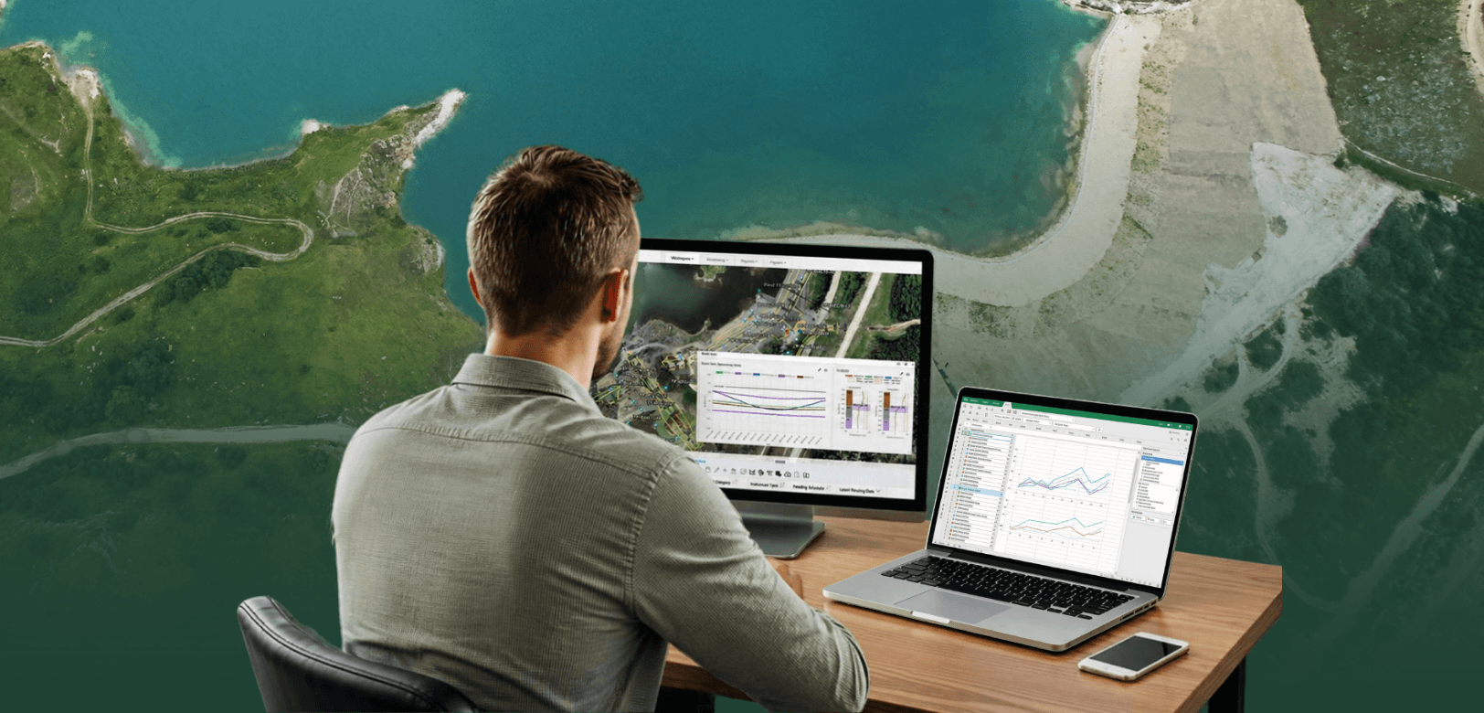
Throughout the project, engineers needed to draw on historical site investigation data, design information, construction observations, and instrumentation data to make informed decisions. But when that information lives across separate systems, reports, and workflows, it can be difficult to connect what's happening in the field with the broader engineering picture.
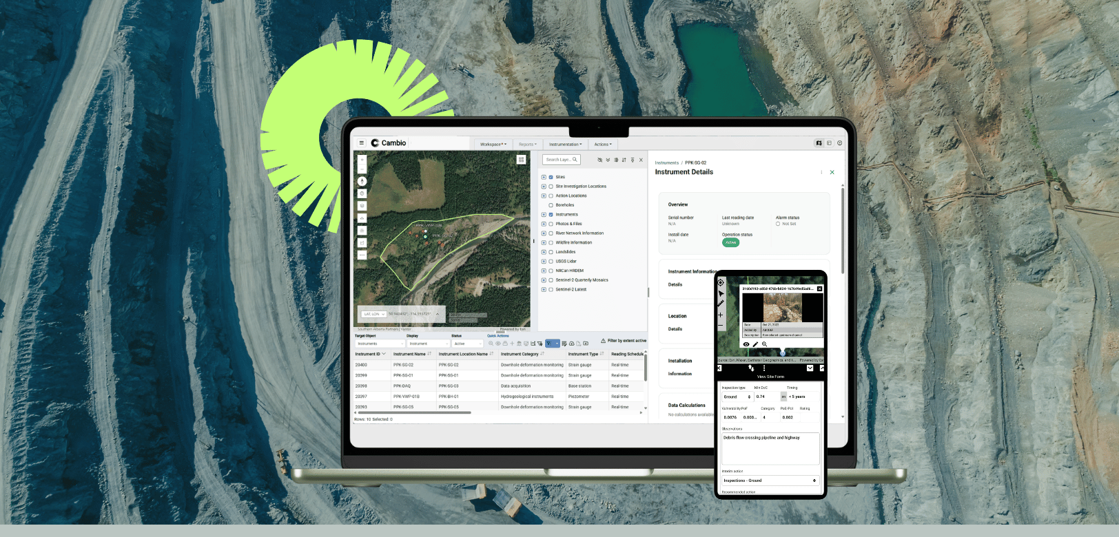
A new paper being presented at Tailings and Mine Waste 2026 explores how BGC Engineering used Cambio™ to connect these workflows throughout the design and construction cycle.
From historical site data to dam raise design
The 2025 program involved raising the tailings impoundment by approximately 1 to 2 metres along a 4 km alignment.
During design, engineers used Cambio to bring together historical imagery, borehole records, topographic data, previous construction information, and proposed design footprints in a common geospatial environment.
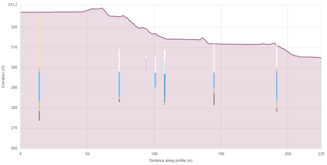
Elevation profiles and borehole stratigraphy could be reviewed alongside proposed dam alignments, buttresses, and shear keys. This helped the team identify where subsurface conditions could influence constructability or performance and refine designs accordingly.
Importantly, those same design datasets remained accessible to CQA personnel during construction.
More than 700 foundation approvals, one connected workflow
Foundation approvals provide a compelling example of how the team's construction workflow changed. Between May and December 2025, more than 700 foundation approvals were completed along the 4 km dam raise.
Previously, Construction Quality Assurance (CQA) personnel completed paper approval forms, recorded coordinates, and scanned documents for eventual inclusion in the Construction Records Report (CRR).
With Cambio, CQA monitors could create georeferenced foundation approval polygons in the field, attach photographs, and document foundation conditions using standardized digital forms. Survey coordinates could subsequently be incorporated to update approval boundaries.

The resulting foundation approval mosaic gave engineers a spatial record of approved areas, with supporting documentation accessible for review. Where actual foundation conditions differed from design assumptions, the information could be reviewed by the engineering team to determine whether design modifications were necessary.
The same records could then be exported to support CRR preparation.
Connecting field observations with engineering decisions
Beyond formal construction documentation, Cambio allowed CQA personnel to georeference action items and other observations.
For example, when silt boils were observed beneath placed rockfill, CQA monitors marked the location for additional observation during subsequent construction activities. Other personnel could then identify and return to the same location to assess whether the condition was continuing to develop.
Instrumentation monitoring provided another connection between construction activities and engineering decisions.
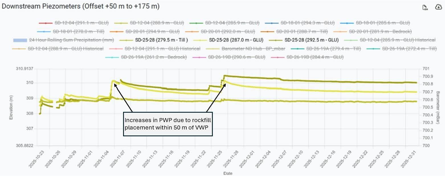
During construction, CQA personnel reviewed instrumentation data daily when rockfill was placed within 50 metres of an instrument. In November 2025, vibrating wire piezometers recorded increases in excess pore water pressure associated with rockfill placement, followed by dissipation after construction stopped for the winter.
This helped engineers assess foundation response to fill placement and determine appropriate construction hold points to allow excess pore water pressures to dissipate.
For more on the instrumentation program at this facility, see our related case study: What Every EOR Wants in an Instrumentation Monitoring Platform.
Connecting the engineering workflow
After one construction season, the project team reported improvements in documentation consistency, data accessibility, and communication between field and office personnel.
More importantly, the case study demonstrates the value of connecting engineering workflows throughout the life cycle of a tailings facility.
Historical information informs design. Design information guides construction. Field observations support engineering reviews. Instrumentation data helps engineers assess facility response. And the resulting records remain available for reporting and future work.
Based on "Application of Integrated Geospatial and Project Data for TSF Design, Construction, and Monitoring," by Megan Keon, Abbas Haider, and Erinn Raison of BGC Engineering, to be presented at Tailings and Mine Waste 2026, November 8–11, Colorado.